A 6.9 earthquake hit northern Vanuatu, then 25 aftershocks above 4.5 in seven hours
The main shock hit at 1.31pm local time on 24 October (2.31am UTC) off northern Vanuatu, prompting the Pacific Tsunami Warning Center to warn of hazardous waves for parts of the country. A 6.3 followed four minutes later. By 9.38am UTC the USGS had logged 26 quakes of magnitude 4.5 or more. There were no immediate reports of damage.
A magnitude 6.9 earthquake struck the sea off northern Vanuatu at 1.31pm local time on Saturday 24 October (2.31am UTC). The epicentre was about 197 kilometres west-northwest of Port-Olry on Espiritu Santo, at a shallow 10 kilometres, according to the US Geological Survey’s event page. It was first reported as a 7.2.
Four minutes later, at 2.35am UTC, a second quake of 6.3 hit the same area. The Pacific Tsunami Warning Center said hazardous waves were possible for parts of Vanuatu, a warning that was later lifted. There were no immediate reports of damage or casualties.
A morning of aftershocks
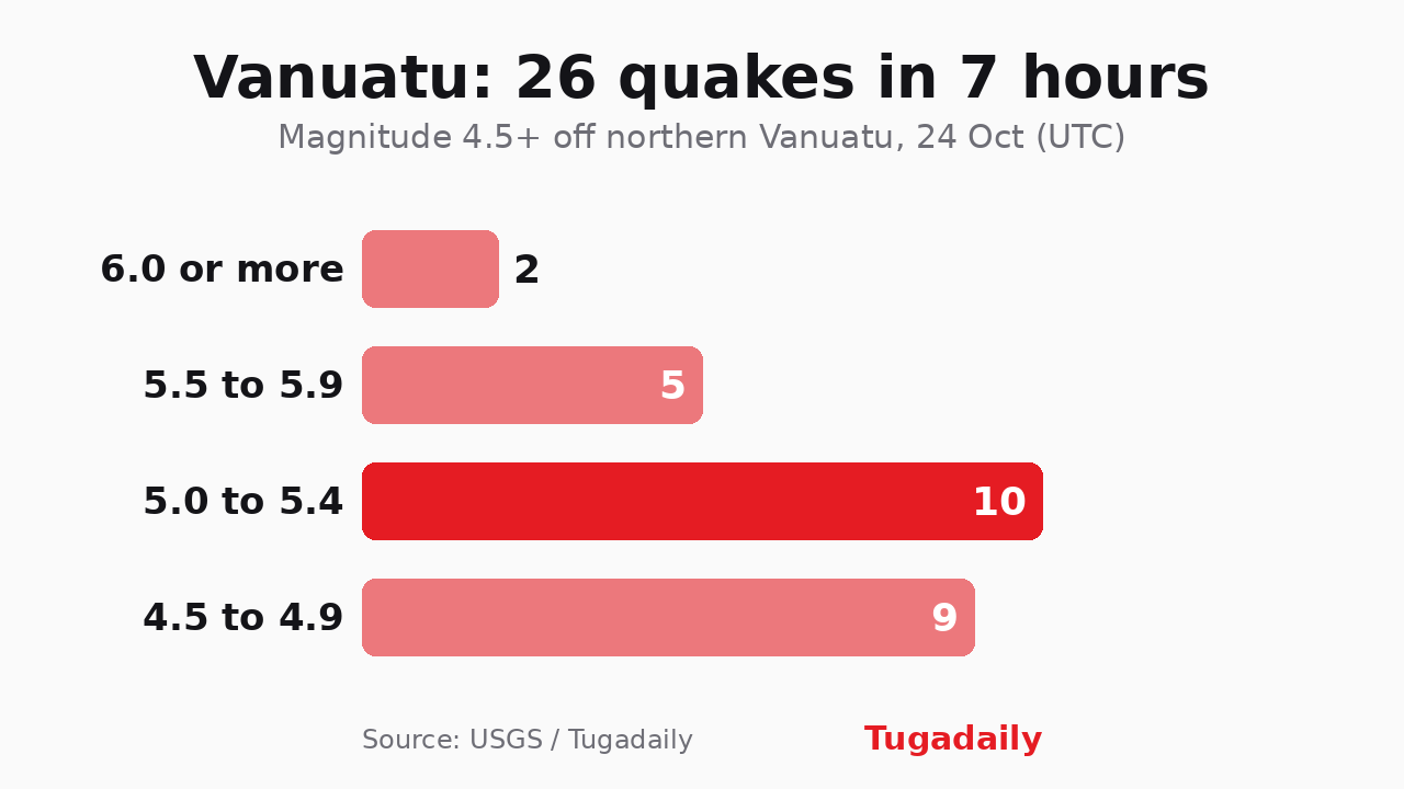
Then the shaking kept coming. We counted every quake of magnitude 4.5 or above in the USGS public catalogue off northern Vanuatu between 2.31am and 9.38am UTC: 26 in all, including the main shock.
Two were above 6. Five were between 5.5 and 5.9, the largest a 5.9 at 8.56am UTC, more than six hours after the first. Ten fell between 5.0 and 5.4 and nine between 4.5 and 4.9. Those numbers may still shift, since the USGS revises magnitudes in the hours after an event, and the sequence had not stopped when we ran the count.
A place used to shaking
Vanuatu sits on one of the planet’s most active plate boundaries, where the Australian plate dives beneath the edge of the Pacific plate at the New Hebrides Trench, and quakes above 6 are not unusual there. What stands out this time is the rhythm, with magnitude-5 aftershocks arriving roughly every half hour through the morning.
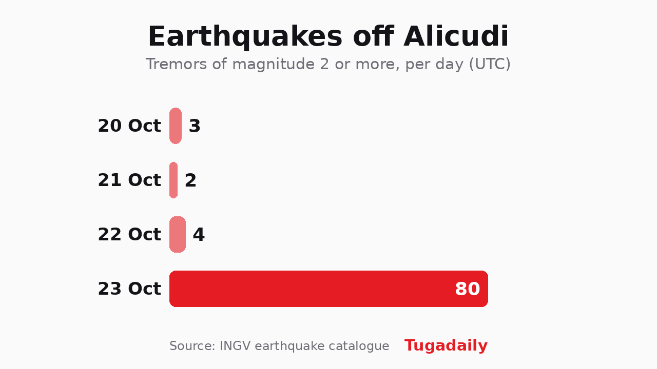
It isn’t the only swarm this week. On Friday, a 5.5 off Sicily turned out to be one of 80 tremors in a single day. The two are unrelated, on opposite sides of the world.
Chart: Tugadaily · data USGS